
Covina ZIP Code Directory Coverage
Covina city materials identify three ZIP codes used across the city and nearby mailing territory. Their service areas are useful for narrowing a search, but none is a perfect outline of incorporated Covina. The local postal guide therefore starts with the delivery territory and then adds the city and parcel checks that explain what a mailing label can and cannot prove.
The USPS ZIP Code Lookup is the authority for a deliverable address. Use the city and state mode to see the postal choices, then use the address mode for one exact location. The table gives the Covina geography described by local materials.
| ZIP | Areas Covered | Post Office / Service | Notes |
|---|---|---|---|
| 91722 | Northwestern and western Covina, including the Covina Boulevard and Arrow Highway side | Covina delivery; verify the individual address with USPS | Postal territory includes adjacent mailing areas and is not identical to the city limit |
| 91723 | Central and downtown Covina | Main Covina and downtown service | City Hall, 125 E. College Street, Covina, CA 91723, is in the civic core |
| 91724 | Eastern and northeastern Covina, Charter Oak vicinity, and adjacent mailing territory | Covina and Charter Oak delivery area | Some addresses labeled Covina fall under Los Angeles County jurisdiction |
The table is a coverage guide, not a resident export. A ZIP narrows a mailing question. It does not identify a household, establish city residency, or replace an AIN search.
The USPS city and state lookup is the first check when a Covina address has an uncertain postal label.
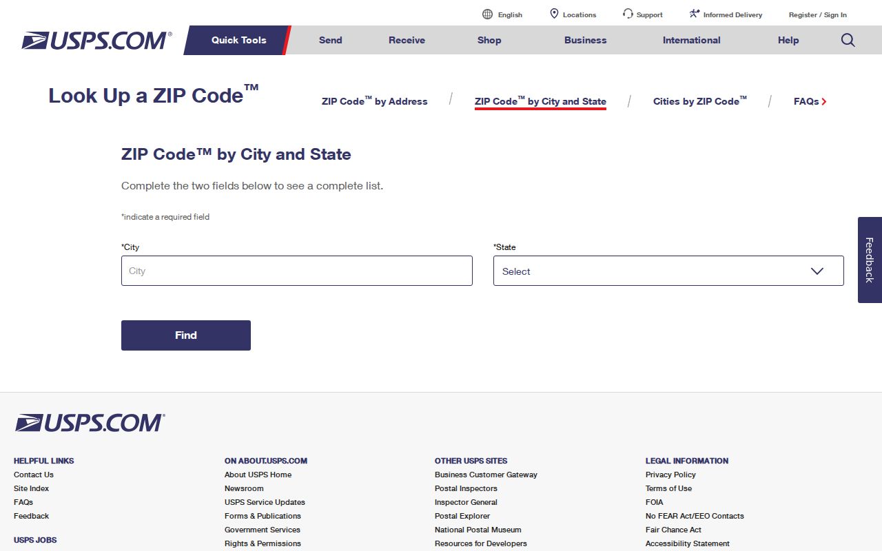
USPS results establish delivery geography; Covina GIS and Los Angeles County parcel tools supply the land and jurisdiction context that postal data does not contain.
Covina ZIP Code 91722: Western Side
ZIP 91722 is associated with northwestern and western Covina, including the Covina Boulevard and Arrow Highway side. It also reaches adjacent mailing territory. That blend is why a 91722 label should be treated as a search lead instead of a city-limit test.
For one address, enter the full street information in USPS address mode and keep the returned city and ZIP together. Then check the address in the Covina Public GIS zoning map. The map can confirm whether the location appears within city planning layers, but it is a planning and zoning viewer, not an official ZIP-wide resident roll.
If the location sits near an edge, compare the parcel with Los Angeles County's GIS-NET Public. A county parcel profile can clarify jurisdiction and subdivision context even when a postal label uses Covina. Record the AIN and situs address separately from the ZIP.
Covina ZIP Code 91723: Civic Core
ZIP 91723 covers central and downtown Covina. City Hall at 125 E. College Street, Covina, California 91723, is the clearest civic reference point in this ZIP. The address helps orient a search, but a city building's ZIP does not make every nearby mailing address part of the same municipal record system.
City records are held by the Covina City Clerk and departments, while deeds, assessment rolls, vital records, and superior-court cases are mainly county or state records. If the question concerns a permit or city file, use the city's public-records archive or a narrowly described request. If the question concerns a parcel, start with the county assessor. If it concerns a court case, use Los Angeles Superior Court rather than a postal search.
Downtown location can add useful context to a postal directory entry, but a person is not established by a civic address alone. Keep the postal, municipal, and person-level questions distinct.
Covina ZIP Code 91724: Eastern Side
ZIP 91724 reaches eastern and northeastern Covina, the Charter Oak vicinity, and adjacent mailing territory. This is the clearest local example of a Covina postal identity extending beyond incorporated city jurisdiction. Covina Planning warns that some addresses described as Covina are actually in Los Angeles County and must use county planning channels.
A 91724 result should therefore trigger two checks. First, verify the exact mailing ZIP with USPS. Second, determine whether the parcel is inside Covina or in unincorporated county territory through city GIS and county GIS-NET. The same street can cross a jurisdiction line even when the city name on an envelope stays unchanged.
For a parcel-based question, use the Los Angeles County Assessor Portal by address or AIN. The assessor's legal parcel identity is stronger than a city name typed into a directory. For a planning question, follow the jurisdiction shown by the map and route the request to the responsible office.
Note: Around Charter Oak, “Covina” on a mailing label and Covina municipal jurisdiction can describe different geographies.
Covina ZIP Codes and City Jurisdiction
A ZIP code routes mail. A city limit determines municipal authority. A county planning boundary determines which agency reviews land-use work. An AIN connects a parcel to the assessment system. These are overlapping maps, not interchangeable labels.
Los Angeles County's assessor distinguishes the situs address, which is the physical parcel, from the mailing address used for assessment correspondence. A mailing address can be outside the city or state. The legal description can use a tract, lot, and block identity that survives postal changes. These differences matter when a postal search moves from a name or address clue to an official record.
- ZIP code
- A USPS delivery area used to route mail; it is not a city, school, or parcel boundary.
- ZIP+4
- The added four digits refine delivery within the five-digit postal area.
- Situs address
- The physical location used by assessment, planning, permit, and GIS systems.
- Mailing address
- The destination for notices or tax mail, which may differ from the situs.
- AIN
- The county assessment identifier used to connect a parcel to maps and assessment data.
A postal match is useful. It is not enough by itself to claim that a person lives in Covina or that a record belongs to the city.
Covina ZIP Searches for Resident Records
The safest postal workflow follows the authority for each question. Start with USPS, then check the municipal map, then the parcel roll, and only then request a record from the office that holds it. Once a ZIP narrows the area to a street, address-level work belongs in a separate street directory workflow.
- Enter the complete address in USPS ZIP Code Lookup and save the returned ZIP and mailing city.
- Search the same address in Covina GIS, choose the autocomplete suggestion, and note the city planning view.
- Open the Los Angeles County Assessor Portal by address, save the AIN, situs, legal description, and displayed owner information.
- Check GIS-NET for county jurisdiction, tract, parcel, or subdivision context when the city line is uncertain.
- Send a request to the city, county, court, or state custodian that actually holds the record.
A postal search should preserve four labels: mailing ZIP, municipal status, AIN, and record custodian. The chain prevents a postal label from carrying more weight than it can support.
For the next step after a ZIP narrows the location, use the Covina street directory for address-keyed parcel, permit, GIS, and deed-chain research.
Covina ZIP Code Fields in Portals
Official tools accept ZIP information in different ways. USPS can return ZIPs by city and state or verify one deliverable address. The assessor can use city or ZIP text to disambiguate an address, but no official “return every parcel in ZIP” mode was verified. Covina GIS uses address autocomplete and map navigation. My Voter Status uses identity fields, not a public ZIP browse.
| Portal | ZIP-related field or mode | What it returns | Limit |
|---|---|---|---|
| USPS ZIP Code Lookup | City and state; exact address | Postal ZIP choices or one deliverable ZIP | Mail routing only |
| LA County Assessor | Address with city or ZIP; AIN alternative | Parcel card, map, assessment details | No verified ZIP-wide resident export |
| Covina GIS | Address autocomplete | Parcel context, zoning, and planning layers | Not a resident or owner roll |
| My Voter Status | County or ZIP may route an authenticated check | One voter's registration status and election information | Self-lookup, not public ZIP browse |
| California Unclaimed Property | Optional city and five-digit ZIP after a name or Property ID | Possible property holder and claim record | Does not list everyone in a ZIP |
The California voter registration gateway shows the distinction between a ZIP as an identity-routing field and a ZIP as a bulk directory key.
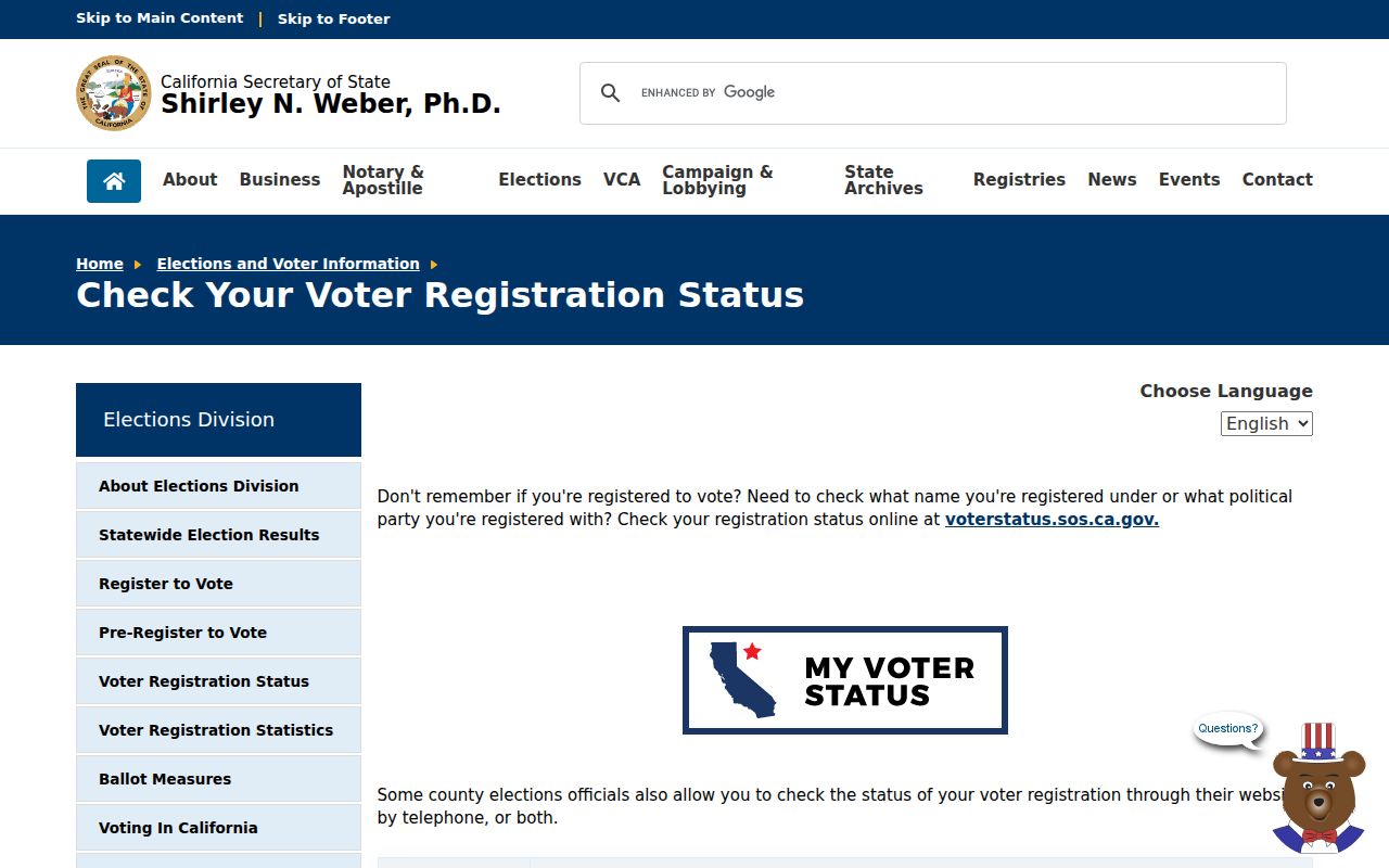
A voter-status screen can help one person check registration. It cannot produce a public list of Covina voters by ZIP or street.
Covina ZIP Code Has No Resident Export
No official Covina portal located in the research produces a ZIP-wide resident list. That absence is a legal and technical boundary, not a missing button. A postal area may contain nearby community addresses, while voter information is protected and assessment records are parcel-based. A bulk list would also blur owners, occupants, businesses, and people with protected addresses.
Use a ZIP as a narrowing field after a known name or address. For a state business clue, bizfile can search an entity name or number. For a professional clue, DCA supports name, business, license, and registry fields. For an unclaimed-property clue, the California Unclaimed Property search requires a last or business name unless a Property ID is known, with city and ZIP as optional filters. Each result is a lead about that record, not a roster of residents.
When a person needs their own voter status, use My Voter Status. When an identifiable municipal record is needed, use Covina's Laserfiche archive or a CPRA request. When a parcel needs checking, use the assessor and GIS. These routes keep a postal search lawful and accurate.
Covina ZIP Code, Situs, and AIN
Older Covina addresses do not always match modern postal text. The townsite grew from land associated with Rancho La Puente after Joseph Swift Phillips purchased about 2,000 acres in 1881 and hired surveyor Fred Eaton. A 120-acre townsite followed. County land descriptions, townsite lots, incorporated-city records, and later subdivisions can each use a different identity for the same ground.
No official source verified a Covina-wide street-renumbering or ZIP realignment year. If an old address fails in a modern postal search, compare cross streets, tract and lot references, maps, permit plans, and directory entries. Use the AIN where a successor parcel can be identified. Do not invent a renumbering date to bridge a gap.
The legal description in a deed can be more stable than an envelope. A parcel may be subdivided or merged, creating successor AINs, while a postal label changes with delivery territory. The assessor map and county GIS-NET can show the present relationship. Historical sources then supply the people or households connected to the older location.
Covina ZIP Code Lines Follow Townsite History
Covina's record geography changed as citrus acreage, townsite lots, and postwar subdivisions became a denser city. The 2020 Census counted 51,268 residents, but a census count is not a current person directory. It is a population record with its own release and geographic rules.
The 2020 Census geographic summary-file guidance helps explain why census geography should not be mistaken for USPS geography. Census blocks, ZIP Code Tabulation Areas, city limits, tracts, and county boundaries serve different purposes. A postal reference can use census context to understand an area, but it cannot turn one boundary into another.
The official Census geographic materials provide the right context for comparing postal and civic maps.
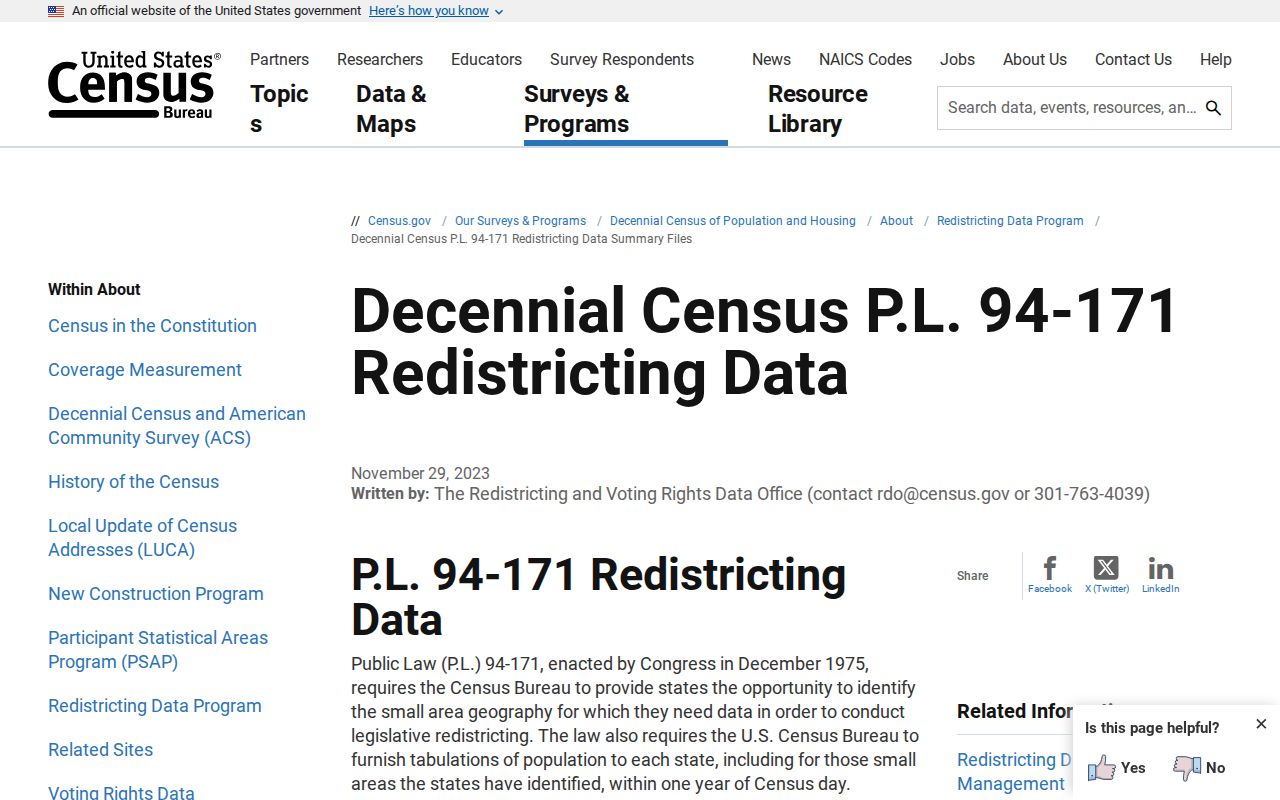
For a person-level question, return to the custodian and record type instead of treating a population boundary as an address index.
Note: Covina's ZIP territory, municipal line, census geography, and parcel map can overlap without sharing the same edge.