
Covina Neighbors: Block Sources
A block lookup works when each source has one purpose. Covina GIS shows parcel shape and planning layers. The Los Angeles County Assessor connects an address to an AIN and assessed information when displayed. Permits show projects and notice geography. Voter data is restricted, while community groups publish contacts rather than private rosters.
Together these sources describe land and public activity, not who sleeps at a parcel or belongs to a household. The table keeps a Covina block search tied to what each office makes available.
| Source | What It Shows About a Block | Access |
|---|---|---|
| Covina Public GIS | Parcel pattern, zoning, plan overlays, and adjacent shapes | Free address search, map, and parcel click |
| LA County Assessor | AIN, situs, assessed party when public, values, and parcel links | Address or AIN search, one parcel at a time |
| County GIS-NET | Parcel profile, tract, subdivision, and jurisdiction context | Free map and profile tools |
| Permits and planning notices | Project address, applicant, contractor, hearing, and affected-owner geography | City archive, project files, or CPRA request |
| Voter registration | Registered voters only through a permitted address-level file | Restricted under Elections Code 2194; no open block browse |
| Community groups | Public organization contacts and civic connections | Published pages or direct organization contact |
Start with GIS and the assessor for land. Use planning and permits for a project. For a personal connection, use a public group contact or direct introduction, not a household inference from a map.
Covina Neighbor Parcels in GIS
The Covina GIS zoning map supports an adjacent-parcel method. Open Search, type the address, choose the autocomplete result, zoom to parcel context, toggle layers with the eye controls, and click the target. Use popup arrows when records overlap.
Close the popup, click adjoining parcels, and pan along the block. Home, Legend, zoom, and pan keep the view readable. The viewer gives planning context, not a resident roll or deed index. County GIS-NET adds tract and profile links at county edges.
- Open Search and choose the exact Covina address suggestion.
- Zoom in until the subject parcel and immediate nearby parcels are visible.
- Use the Layer List and Legend to identify the active zoning or plan overlays.
- Click the subject parcel, use popup arrows for overlapping records, and note the address or AIN shown.
- Close the popup, click neighboring parcels, and pan or zoom to follow the block.
Save the target address and each AIN separately. A map shape or planning layer does not prove ownership, occupancy, or a complete list of people.
Use AINs for Covina Neighbor Parcels
An AIN connects a Covina parcel map to the Los Angeles County assessment system. Search by address or the ten-digit AIN, commonly shown in four-three-three groups. Save the situs, legal description, values, characteristics, and displayed owner, then compare the map position with the parcel you clicked.
The assessor separates the physical situs from the mailing address for notices. A different mailing destination does not establish where a person lives. Assessment data is not a boundary survey, and a legal description is stronger than street text when a tract or number changes.
RR/CC adds deeds, indexed by grantor, grantee, and year, not address or APN. Use the assessor for a likely title party, then the recorder's name-and-year process. Assessed ownership is not an actual neighbor list.
Note: Capture one AIN per parcel; do not assume that adjacent map shapes share an owner, mailing address, or occupant.
Covina Neighbors: Owners and Occupants
Assessment records show land and an assessed party when the public display allows it. They can show a mailing address, value, exemption, property type, and characteristics. They do not list every household member, guest, caregiver, child, or person who uses the property. A business, trust, estate, or protected person can also make a name-to-household inference unreliable.
Compare the assessed party with the situs and mailing address, then stop at the evidence. A permit applicant may be a contractor, a planning applicant may represent an owner, and a deed may omit everyone who uses the parcel. Label each role precisely. No verified public utility, delivery, or citywide private-association roster fills the gap.
Covina Neighbor Planning Notices
Permits, code cases, and planning files explain why a block changes. Covina Building and Safety provides permit channels. Planning applications can identify an applicant, parcel, hearing date, and nearby-owner notice list, with redactions where required.
Tree-permit instructions describe mailing labels for properties within 309 feet in relevant cases. That is project notice geography, not a list of occupants. A released file can show noticed owners, subject to exemptions and redactions.
Covina's 2025-2026 rezoning packets add a timely address layer. Phase 1 took effect July 3, 2025, and later materials into March 2026 include maps and assessor-parcel lists. Use the city's rezoning materials for the current packet.
The Los Angeles County public-records request portal explains the county route when a released planning or parcel record is held outside the city.
Name the parcel, project, department, date range, or notice file instead of asking an agency to build a nearby-household list.
What Voter Law Allows for Covina Neighbors
California My Voter Status is for the voter who is checking their own registration. It uses identity inputs such as first name, last name, date of birth, and the current form's authentication field. A successful check can return status, party preference, registration address, precinct or district, vote-by-mail status, and participation history. A non-match is not proof that someone is unregistered.
Government Code 7924.000 exempts voter information from ordinary CPRA disclosure. Elections Code 2194 controls permitted election, scholarly, journalistic, political, and governmental uses and bars impermissible commercial use. A targeted or full file request goes through Los Angeles County Election Information and Records with a permitted-use declaration, fee, and review. It is not a public street or block search.
For a block, do not turn a self-lookup into a public roster. Protected voters and Safe at Home participants are not ordinary map data. Nonregistrants and confidential addresses mean even a lawful file would not represent every nearby household.
Covina Neighbor Groups, Not Private Rosters
Community directories add a civic layer without exposing household membership. Covina Community Groups points to churches, the Covina Concert Band, service organizations, food support, civic contacts, and a military-banner program. Public officers or event contacts can corroborate an organization; a member list stays private unless deliberately published.
The Covina Chamber of Commerce offers a public business connection, not a resident roll. The Covina Valley Historical Society provides local-history expertise through the Firehouse/Jail Museum, but its member roster is not advertised. No citywide HOA directory was located. Use published management or organization contacts.
Neighborhood watch works the same way: a meeting or contact may be public, while participants remain private. A public event or direct introduction is the respectful route to someone nearby.
| Community layer | Public status | Appropriate use |
|---|---|---|
| City Community Groups | Public organization links and contacts | Find civic, faith, service, and event connections |
| Covina Chamber | Public business member directory | Check business affiliation, not household membership |
| Historical Society | Public contact and local-history collections | Ask about photographs, clippings, and family files |
| Concert Band and service groups | Leadership or event contacts when published | Corroborate public civic participation |
| HOAs and neighborhood watch | No citywide private roster located | Use published management or meeting contact only |
Covina Neighbor Rolls Versus Compiled Tools
Official rolls are narrow but traceable. GIS shows parcels and layers, the assessor shows assessment data, a permit file shows a project, a permitted voter file has statutory limits, and a community directory shows a chosen public contact. Each result has a named custodian.
Compiled neighbor tools merge feeds and may charge. They can lag behind a move, conflate same-name people, repeat an old phone or relative, and turn a mailing or title clue into a current-household claim. They do not replace parcel-by-parcel verification.
| Question | Best official starting point | What remains uncertain |
|---|---|---|
| Which land touches the address? | Covina GIS, assessor map, and GIS-NET | Exact boundary and every person using the parcel |
| Who is the assessed party? | Los Angeles County Assessor Portal | Actual occupancy and household membership |
| Why is work happening? | Permit, code, or planning file | Private facts or unredacted complainant details |
| Is a voter record available? | Self-lookup or permitted Elections Code 2194 file | Nonregistrants and protected voters |
| Is a business or safety issue real? | Bizfile, DCA, official agency, or complaint channel | Whether the named person is the nearby occupant |
The FTC fraud reporting channel is the right place to report a records-linked scam rather than spreading a neighbor's name.
For a California business or privacy complaint, the Attorney General's consumer complaint channel offers a separate official route.
Keep fraud reporting and block research separate. A suspicious mailer or call is a reason to verify a record, not publish a block's names.
Covina Safety Records Are Not Neighbor Rolls
Some block questions concern safety rather than who lives next door. The Los Angeles County Sheriff's Department Inmate Information Center is a separate custody lookup. It is not a parcel roster, map of nearby households, or proof that a named person is at an address.
Keep the record type in view: custody concerns a booking, court concerns a case, and a parcel concerns land. Charges remain allegations until disposition. For a local threat, use the proper law-enforcement channel instead of identifying households from maps.
The Los Angeles County Sheriff's Department Inmate Information Center is the official source for its own custody information.
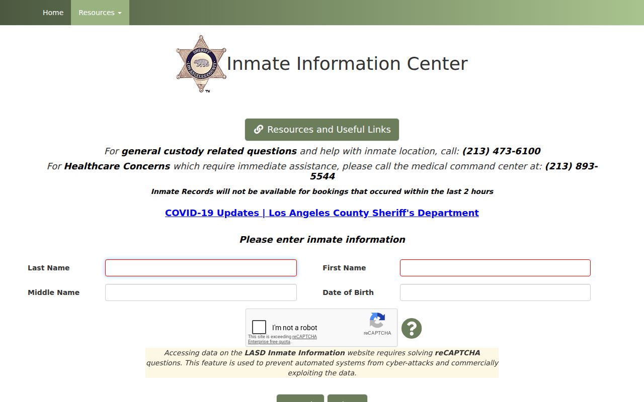
An official safety lookup answers its custody question. It does not expand the lawful scope of a Covina block lookup.
Note: A public-safety record and a parcel record should never be combined into an unsupported claim about a nearby household.
Covina Neighbor Lookup Privacy Boundaries
California privacy rules create a firm stop. Safe at Home, under Government Code 6205-6216, provides a substitute address and confidential-voter protection for eligible participants. Government Code 6208.1 restricts publishing a participant's home address, telephone, or image in specified situations. The Secretary of State's Safe at Home FAQ describes the protections.
Accurate deeds and court records are not erased by a general deletion request. Corrections go to the custodian. Voter data follows Elections Code 2194, sealed files need legal process, and utility, delivery, school, HOA, and household data is not a general public roll.
Lawful personal use. A Covina neighbor lookup is for getting to know a block, reconnecting, civic curiosity, and personal safety awareness. Do not use records to stalk, harass, threaten, or intimidate anyone. California anti-stalking and harassment laws, including Penal Code 646.9 and 653m, apply to conduct that turns information into harm.
Use the smallest source that answers the question. Verify an AIN with the assessor, a project with the city, and a county record with RR/CC. Stop when the public record ends.